TRAILPOINTS WEBSITE
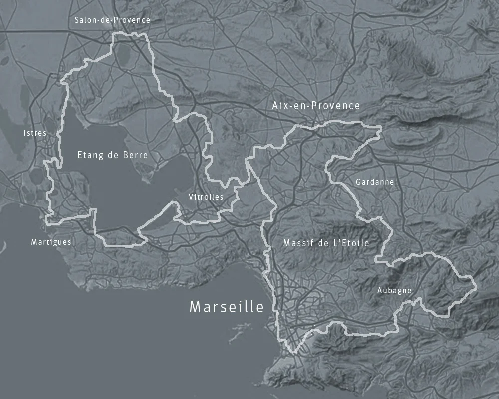
Trailpoints is an interpretive site accompanying Gran Randonnée 2013, a 276 km long urban hiking trail in the Marseille metropolitan region of southern France. Developed in conjunction with the Marseille Capital of Culture events in 2013, the GR 2013 trail was designed by a group of artist-walkers interested in mapping the geopoetics of on-foot travel through the fringes, thoroughfares, and transition zones of the contemporary urban / metropolitan transect.
The trailpoints website is a series of vignettes and investigations that visualize the GR 2013 hiking trail as a network of landscape observation stations in an extended outdoor field museum. Part map, field guide and survey expedition, trailpoints explores the botany, geology, architecture, and infrastructure of working metropolitan landscapes, finding in these everyday environments invitations into states of animated observation and engagement we normally reserve for wild natural landscapes or venerated historic sites.


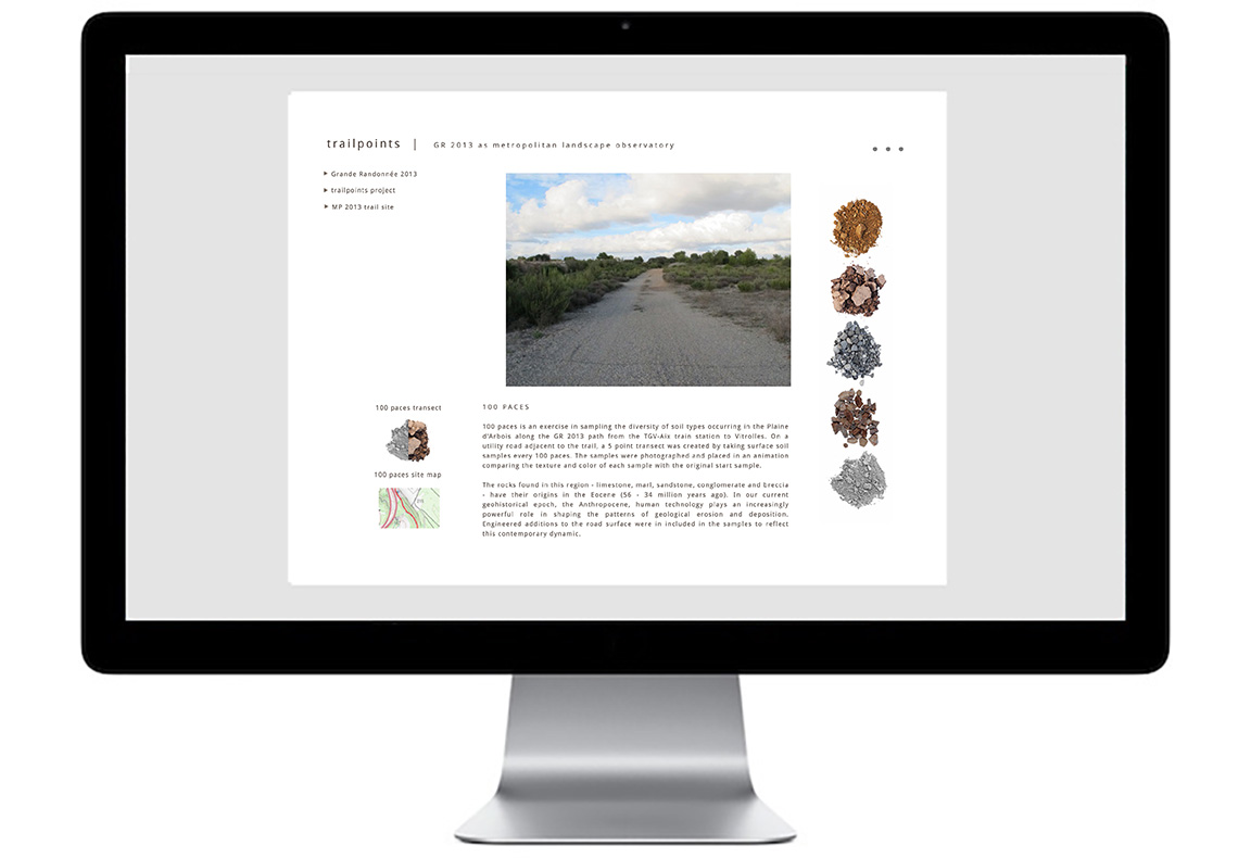
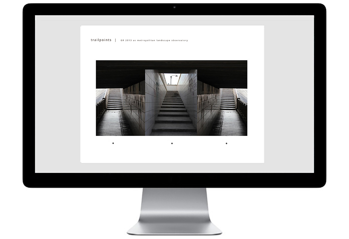
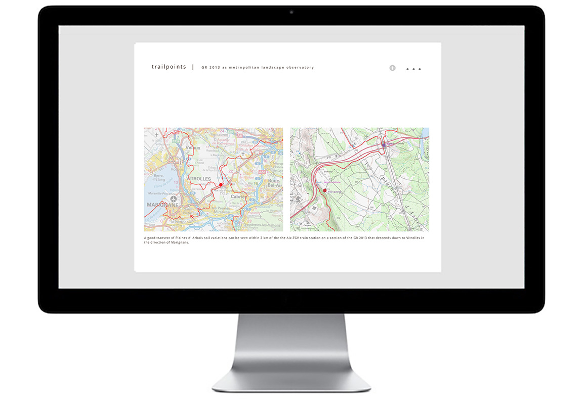
Visitors navigate the trailpoints site through a system of branching paths arranged sets of three. Choosing a path to the left or right leads to a survey site on the GR 2013 trail route. Choosing the middle path leads to another set of three paths. Each survey site has three levels - a visual preview, a content narrative, and a detailed trail map of the site location.
SELECTED TRAILPOINTS IMAGERY
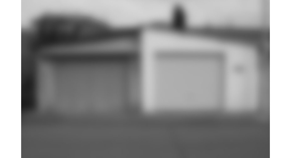
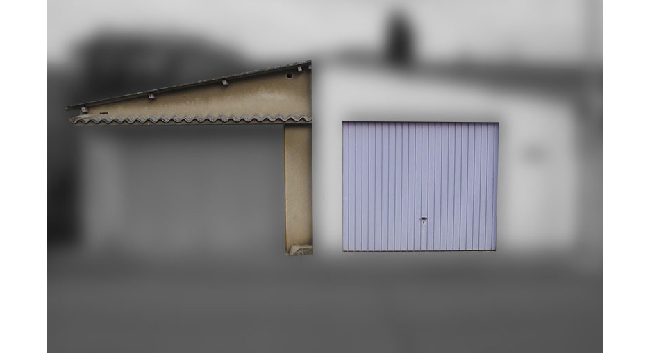
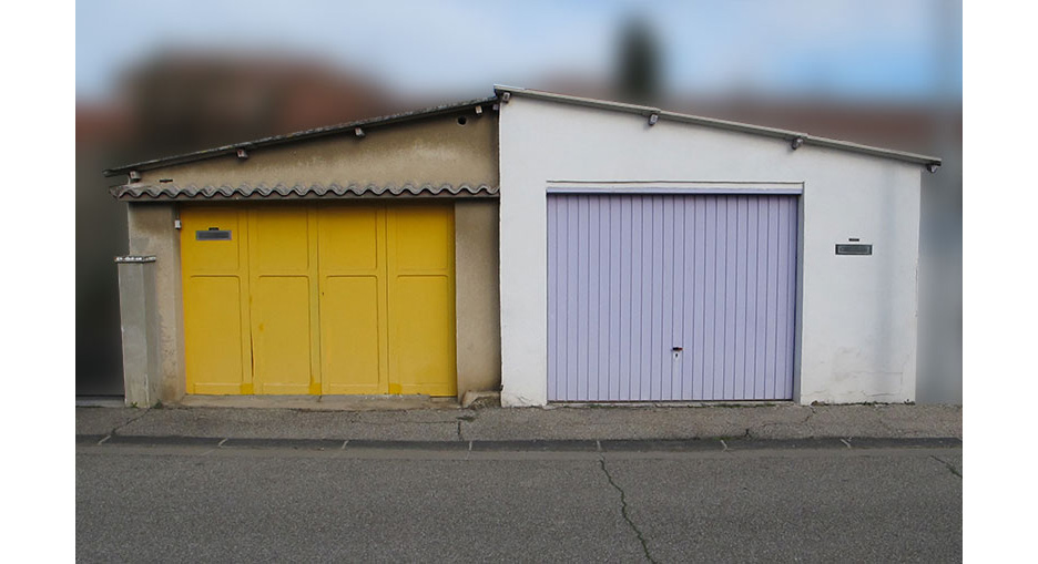
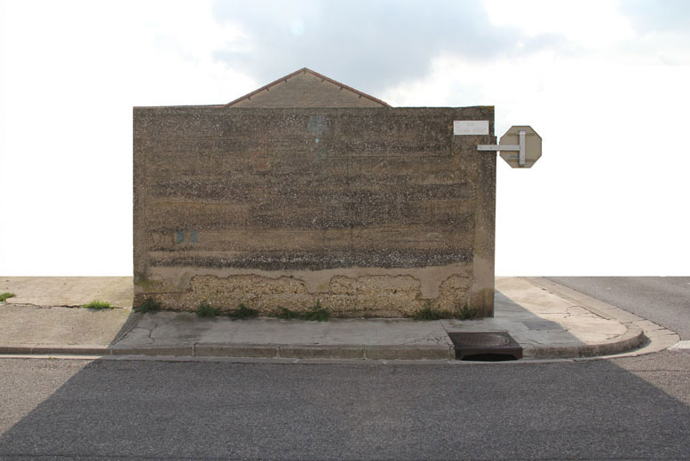
Blur of the unnoticed - vernacular architecture of storage and utility buildings, Miramas


Painted deserts - asphalt botany of the Vitrolles / Aix-en-Provence aeromodelisme airfield, Plaine d'Arbois


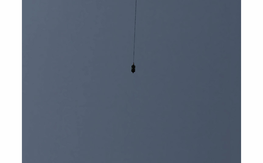
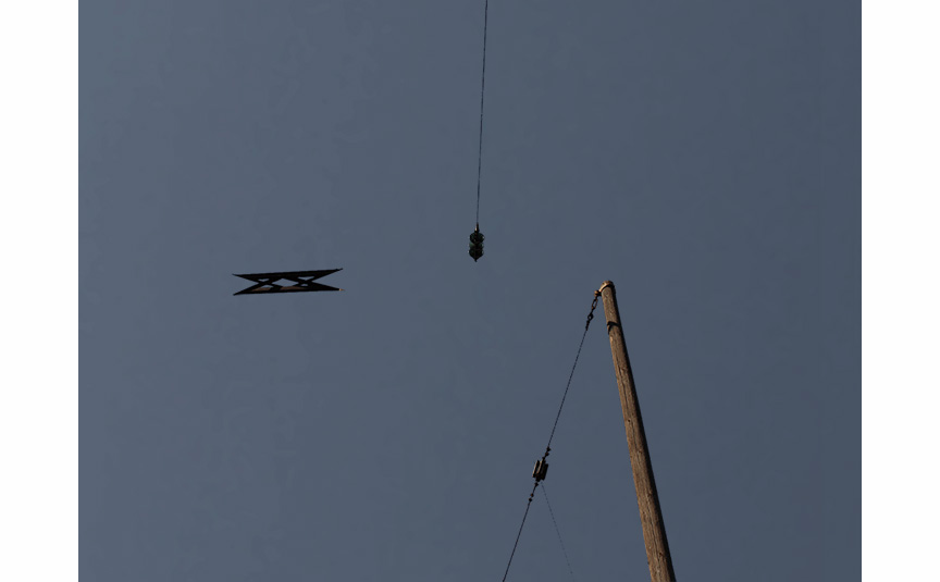
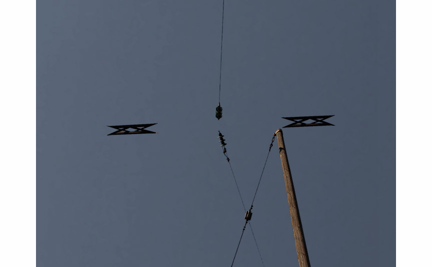
High voltage terrains - anatomy / typology of electrical pylons and long distance power transmission lines


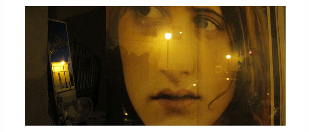
Industrial geology of night illumination - sodium vapor street lighting and mesopic states of landscape perception - Gardanne